A boundary survey is a professional survey completed by a licensed land surveyor that establishes the exact legal boundaries of a property, where it begins, where it ends, how much road frontage it has, and what easements or rights-of-way affect it.
When you buy rural land, it’s the document that defines precisely what you’re purchasing.
Everything else you love about a property; the trees, the views, the creek, the potential homesite, only matters once you know it’s actually inside the lines.
And that’s what’s really at stake.
The property you’re buying isn’t just acreage. It’s the future site of the home you’ve pictured, the workshop you’ve always wanted, the fence line for your animals, and the driveway leading back to your front porch.
Every one of those plans depends on knowing exactly where your land begins and ends.
Buyers who skip this step can end up building closer to a property line than they intended or misunderstanding where their ownership actually ends.
Buyers who understand it move forward with confidence.
If you’re just beginning your land-buying journey, our Free North Georgia Land Buyer’s Guide walks through boundary surveys alongside perc tests, road access, utilities, buildability, financing, and many of the most common mistakes first-time land buyers make.
What Does a Boundary Survey Actually Show?
Using legal descriptions, historical records, and precise field measurements, a licensed land surveyor determines and marks the property’s legal boundaries.
A completed boundary survey typically identifies:
- Property boundaries and corner markers
- Property dimensions
- Total acreage
- Road frontage
- Easements
- Rights-of-way
- Existing features that may affect the property
Simply put, it turns “roughly this land” into “exactly this land.”
That precision matters even more on rural acreage than it does in a subdivision because there usually isn’t a curb, sidewalk, or neighboring fence clearly showing where one property ends and another begins.
Why Can’t I Just Trust the Fence Line?
Walking a property can be surprisingly misleading.
A tree line.
An old farm fence.
A gravel road.
None of these necessarily marks the legal property boundary.
Fences, in particular, were often built decades ago where it was simply convenient to build them, not where the legal boundary actually exists.
It’s common throughout rural Georgia for an older fence to sit well inside, or even outside, the true property line.
That’s why buyers should rely on a professional survey rather than visual assumptions.
Knowing where the legal boundaries actually are helps you understand:
- The property’s true usable area
- Where your future home can sit
- Where a barn or workshop can be built
- Where future fencing should be installed
- Whether neighboring improvements cross onto your property
The more clearly you understand the boundaries, the more confidently you can plan.
What Does a Surveyor Actually Do?
The work begins long before anyone steps onto the property.
A licensed land surveyor first researches the property’s legal records, deeds, plats, and any previous surveys on file.
Only then do they visit the property with specialized surveying equipment to locate existing monuments, verify measurements, and establish the legal boundaries on the ground.
The completed survey documents exactly what they found, including:
- Property corners
- Boundary lines
- Easements
- Rights-of-way
- Encroachments
- Significant physical features affecting the property
Sometimes this process also uncovers questions about legal access that buyers should understand before purchasing.
Our article Why Road Access Matters More Than Most Buyers Realize explains why legal access is one of the first things every land buyer should verify.
What Is a Plat?
Once the survey is complete, buyers are typically provided with a plat, sometimes called a plat map.
The plat is the drawing created from the survey.
It visually shows:
- Property boundaries
- Acreage
- Dimensions
- Road frontage
- Easements
- Adjacent properties
- Survey monuments
The survey establishes the legal boundaries.
The plat turns those measurements into something you can actually visualize.
For many buyers, it becomes one of the most valuable documents they’ll receive because it’s the first time they can see the entire property laid out in front of them.
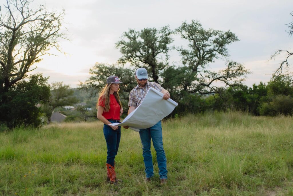
It’s often the document that ends up spread across the kitchen table while you’re deciding where the home, workshop, barn, driveway, and future fence lines will go.
Can You Actually See the Boundaries When You Walk the Land?
This is where a survey either becomes real, or stays a piece of paper.
Surveyors permanently mark the property corners with monuments.
However, those corner markers can be surprisingly difficult to locate, especially on wooded acreage where a corner may sit hundreds of feet from the road beneath heavy vegetation.
We believe understanding a property shouldn’t depend on knowing how to read a survey.
It should be something you can see for yourself.
That’s especially important for first-time land buyers, many of whom have never walked a surveyed property before.
That’s why every Millwood property includes a completed boundary survey before it’s offered for sale.
But we don’t stop there.
In addition to the professionally surveyed corner monuments, we install highly visible metal fence posts approximately every 100 feet along the property lines.
When you walk one of our properties with the plat in your hand, you don’t have to imagine where your land begins and ends.
You can actually see it.
From fence post to fence post.
With your own eyes.
Does Every Property Come With a Survey?
No, and that’s something every land buyer should know.
Not every property on the market has been surveyed recently, and some haven’t been surveyed in decades. Others may have an older survey that no longer reflects changes to adjoining properties, easements, or boundary markers.
If the land you’re considering doesn’t have an up-to-date boundary survey, having one completed during your due diligence is one of the most valuable investments you can make.
A current survey confirms:
- The property’s legal boundaries
- The total acreage
- Road frontage
- Easements and rights-of-way
- Legal access
- Potential encroachments
Instead of discovering issues after closing, you’ll understand exactly what you’re buying before you commit.
A full boundary survey is also one of the seven Build Ready standards we complete before offering a property for sale.
If you’d like to understand everything that goes into preparing land before it’s listed, our article What Makes Land Build-Ready in North Georgia?walks through the complete Build Ready standard and explains why preparation matters before construction ever begins.
How a Boundary Survey Helps You Build With Confidence
A boundary survey isn’t really about lines on a piece of paper.
It’s about everything you’ll eventually place inside those lines.
- Your custom home.
- Your barndominium.
- Your detached garage.
- Your workshop.
- Your barn.
- Your fencing.
- Your driveway.
- Every siting decision you’ll ever make starts with knowing exactly where your property begins and ends.
Combined with a completed perc test , good road access, and thoughtful utility planning, a boundary survey transforms raw acreage into a property you can confidently begin planning around.
If you’d like to learn more about those topics, we’ve covered them in detail in these guides:
- What Is a Perc Test and Why Does It Matter Before You Buy Land?
- How to Get Power, Water, and Internet to Rural Land in North Georgia
- Why Road Access Matters More Than Most Buyers Realize
Together, these three factors; soil, utilities, and access work alongside the survey to determine how practical and ready a property is for your future plans.
When those questions have already been answered, it’s much easier to focus on the exciting part:
Designing the life you want to build.
The Bottom Line
A boundary survey is one of the most valuable documents you’ll receive when purchasing land.
- It tells you exactly what you’re buying.
- It confirms where your property begins and ends.
- It identifies road frontage, easements, and legal access.
Most importantly, it gives you the confidence to begin planning your future without wondering where your property lines actually are.
Like a completed perc test, good road access, and utility planning, a boundary survey is an essential part of responsible due diligence before purchasing rural land.
The more you understand before you buy, the fewer surprises you’ll encounter after closing.
Ready to Learn More?
If you’re still researching, our Free North Georgia Land Buyer’s Guide is a great place to start.
It walks through boundary surveys, perc tests, utilities, road access, financing, buildability, and many of the questions first-time land buyers ask before purchasing rural property.
And when you’re ready to start exploring properties, browse our Available Lots to see Build Ready acreage where:
- The boundary survey has already been completed
- Property lines are clearly marked with metal fence posts
- Underground power has already been installed
- A perc test has been completed by a licensed soil scientist
- The driveway is already in place
Instead of wondering where your property begins and ends, you’ll be able to walk the land with confidence and see exactly what you’re buying.
Because when it comes to buying land, confidence starts with understanding the property before you own it.
Have Questions?
Whether you’re trying to understand surveys, plats, property lines, easements, road access, utilities, or the land-buying process as a whole, we’re happy to help.
At Millwood Land Company, we believe buyers deserve clear, honest information before they make one of the biggest purchases of their lives.
If you have questions about one of our properties—or simply want to better understand what to look for when buying land, we’d love to talk with you.
Call or text: (470) 900-4282
Email: [email protected]
We’re here to help you move forward with confidence, one question at a time.