You pull up a FEMA flood map for a lot you love, and a blue shaded strip runs across the back of it. Is that a dealbreaker? Usually, the honest answer is “it depends where you build.”
A flood map answers one question well: is any part of this parcel inside a mapped flood hazard area? It can’t tell you whether your homesite is affected, what the county will require, or how water moves across the ground. That gap matters, because the map can decide whether you need flood insurance, what you pay for it, and where your home can go.
Here’s how to read the map, what it leaves out, and the exact steps to get a clear answer for a North Georgia lot.
What a flood map shows
FEMA’s Flood Insurance Rate Maps (FIRMs) sort land into flood zones based on modeled risk. The official source is FEMA’s Flood Map Service Center. These are the zones you’re most likely to see:
|
Zone |
What it means |
What it usually signals for a buyer |
|
A |
Special Flood Hazard Area, no Base Flood Elevation set |
High risk; elevation data will likely need to be developed |
|
AE |
Special Flood Hazard Area with a Base Flood Elevation |
High risk; you can compare ground height to a known water level |
|
X (shaded) |
Moderate risk, between the 1% and 0.2% annual chance flood |
Outside the high-risk area, but not risk free |
|
X (unshaded) |
Minimal mapped risk |
Lowest mapped risk |
|
D |
Flood hazard not determined |
No answer from the map; ask the county |
Two terms do most of the work:
- Base Flood Elevation (BFE): the height water is expected to reach in the “base flood.” It’s the number that later decides whether a homesite is in or out.
- The “100-year flood”: not a flood that happens once a century. It’s a flood with a 1% chance of happening in any given year. Over a 30-year mortgage, that adds up to roughly a 26% chance of at least one.
Always read the panel’s legend and notes. Details vary from map to map.
The question that matters: parcel or homesite?
“Part of the parcel is in a flood zone” and “the homesite is in a flood zone” are two very different findings. Most buyers hear the first and assume the second.
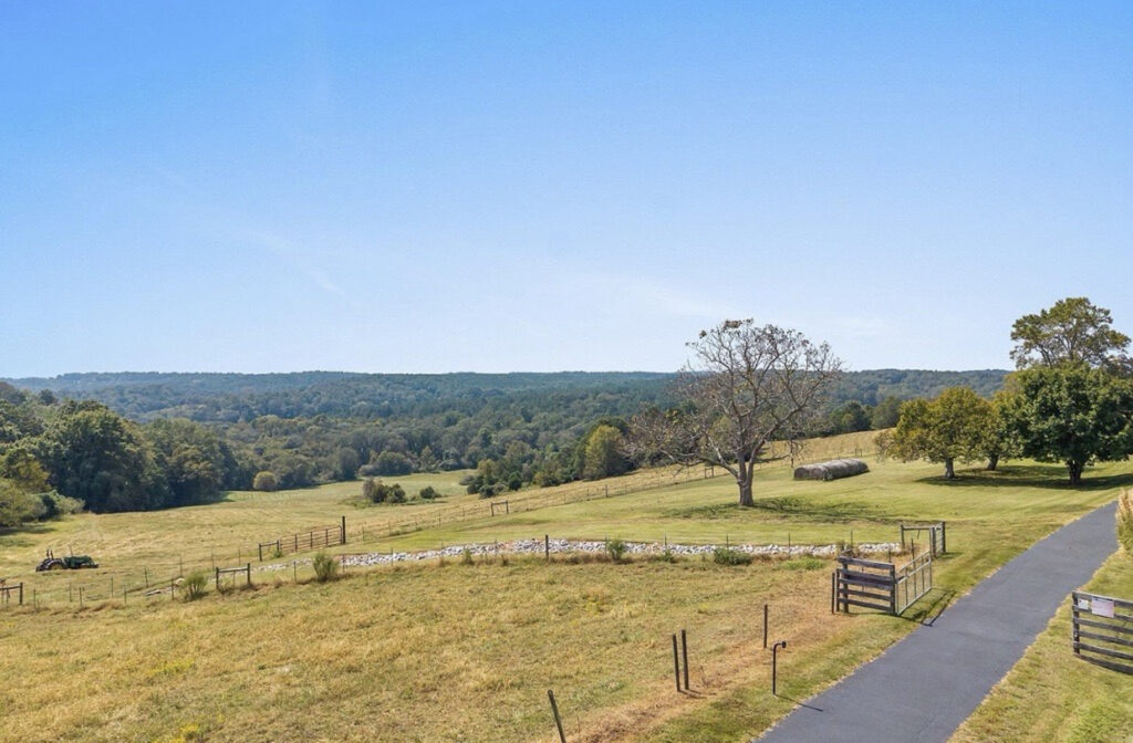
Picture an 8-acre lot in Jackson County. A creek runs along the back property line, and the map shades the lowest strip near it as Zone AE. The homesite sits near the road on higher ground, several hundred feet away and well above the creek.
On a map search, that parcel shows up as “in a flood zone.” In practice, the home, driveway and septic area may never touch the mapped area. The creek strip becomes what it looks like on a walk: a shady edge of the property, not a building constraint.
The reverse also happens. A lot can show no shading at all and still have a low spot where stormwater collects after a hard rain. The map can’t see either case clearly. Knowing exactly where the lines fall can.
Why it matters: insurance and real risk
The map carries financial weight. According to FloodSmart, FEMA’s National Flood Insurance Program site, if you own a property in a high-risk zone and have a government-backed mortgage, you must buy flood insurance. Where your future home sits on the map can shape your loan terms and your ongoing costs.
It cuts the other way too. FloodSmart reports that nearly one-third of NFIP flood insurance claims from 2014 to 2024 came from areas outside current high-risk flood areas. Unshaded doesn’t mean dry. It means the map hasn’t flagged it.
When the line runs close: elevation beats the map
Flood maps are drawn at a scale that can’t capture every rise in the ground. If a homesite sits near a mapped boundary, the ground’s actual height decides the question, not the shading.
That’s where two tools come in:
- Elevation certificate. A licensed surveyor or engineer measures ground and structure heights and compares them to the Base Flood Elevation. Insurers and lenders rely on it.
- Letter of Map Amendment (LOMA). If a home is built on natural ground and the lowest ground touching it is at or above the BFE, you can ask FEMA to officially determine it’s outside the Special Flood Hazard Area. Per FEMA, a LOMA removes the federal flood insurance purchase requirement, though a lender can still choose to require coverage. FEMA charges no review fee for a LOMA; you pay for the surveyor’s or engineer’s certification.
One detail matters for land buyers: a LOMA applies to natural ground. If a site has to be built up with fill to get above the BFE, that’s a different process with FEMA fees. So it pays to know your elevations before you choose a homesite, not after.
How to check a North Georgia lot yourself
- Search the address or parcel. Use FEMA’s Map Service Center, or Georgia EPD’s mapping site, georgiadfirm.com, which returns a property-specific flood risk snapshot. On vacant land, an address search may drop the pin in the wrong spot, so find the parcel by its shape.
- Write down three things: the zone, the map panel number and the panel’s effective date. The county will ask for them.
- Overlay the boundary survey. FEMA maps don’t show property lines. Compare the mapped area with the survey or the county parcel map to see how much of the lot is affected, and where.
- Locate the homesite. Mark where the home, driveway and septic area would go. Is any of it inside or near the shading?
- Take it to the county. Use the questions below to confirm what applies.
Five questions to ask the county
Call the county planning, zoning or floodplain office with your map details in hand and ask:
- Does any part of this parcel fall within a regulated floodplain or floodway?
- Which flood map and effective date does the county use? Are any map updates in progress?
- Would a home, driveway or other improvement in my proposed location need floodplain review or extra permits?
- Does the county have building standards above FEMA’s minimum, such as a required height above the BFE?
- Is there local flood history on this road or creek I should know about?
If the answers point to a homesite near the mapped line, ask a licensed surveyor to plot the line against your property lines and homesite.
Flood zones and drainage are different checks
A flood map models rising water from creeks and rivers. It doesn’t show how rain moves across a lot: the swale that carries runoff, the low corner that stays soggy, the slope that sends water toward a driveway.
That’s a site question, and you answer it on the ground. Walk the lot after a heavy rain if you can. Notice where water flows and where it sits, especially around the homesite, the driveway path and the septic area.
Start with the map, finish with the ground
A flood map tells you where to look. The survey, the county and the land itself tell you what you’re actually buying.
That’s why every Millwood Build Ready lot comes with the boundary survey completed and property lines marked, so you can see exactly where a mapped flood line falls relative to your land. With the homesite partially cleared, you can stand where your home would go and see the ground for yourself.
Want to walk a lot and see where everything sits? Schedule a land tour, and we’ll bring the survey.